

The Local newsletter is your free, daily guide to life in Colorado. For locals, by locals.
Length: The one-way, 10.4-mile trip requires that you shuttle a car to the trail’s end. Alternatively, you can ski up to the pass and return to your vehicle for a total of 5.4 miles round-trip
Difficulty: Intermediate
Why we love it: An all-day winter outing with less than 600 feet of elevation gain followed by a 2,400-foot descent
When to go: Winter through early spring
Pre-hike buzz: The Frothy Cup on Miner Street in Idaho Springs is a great place to grab a hot drink and stretch your legs along the way
Restrooms: Facilities at the Vail Pass trailhead
Fees: There is a $6 per person, per day fee to use the Vail Pass Winter Recreation Area
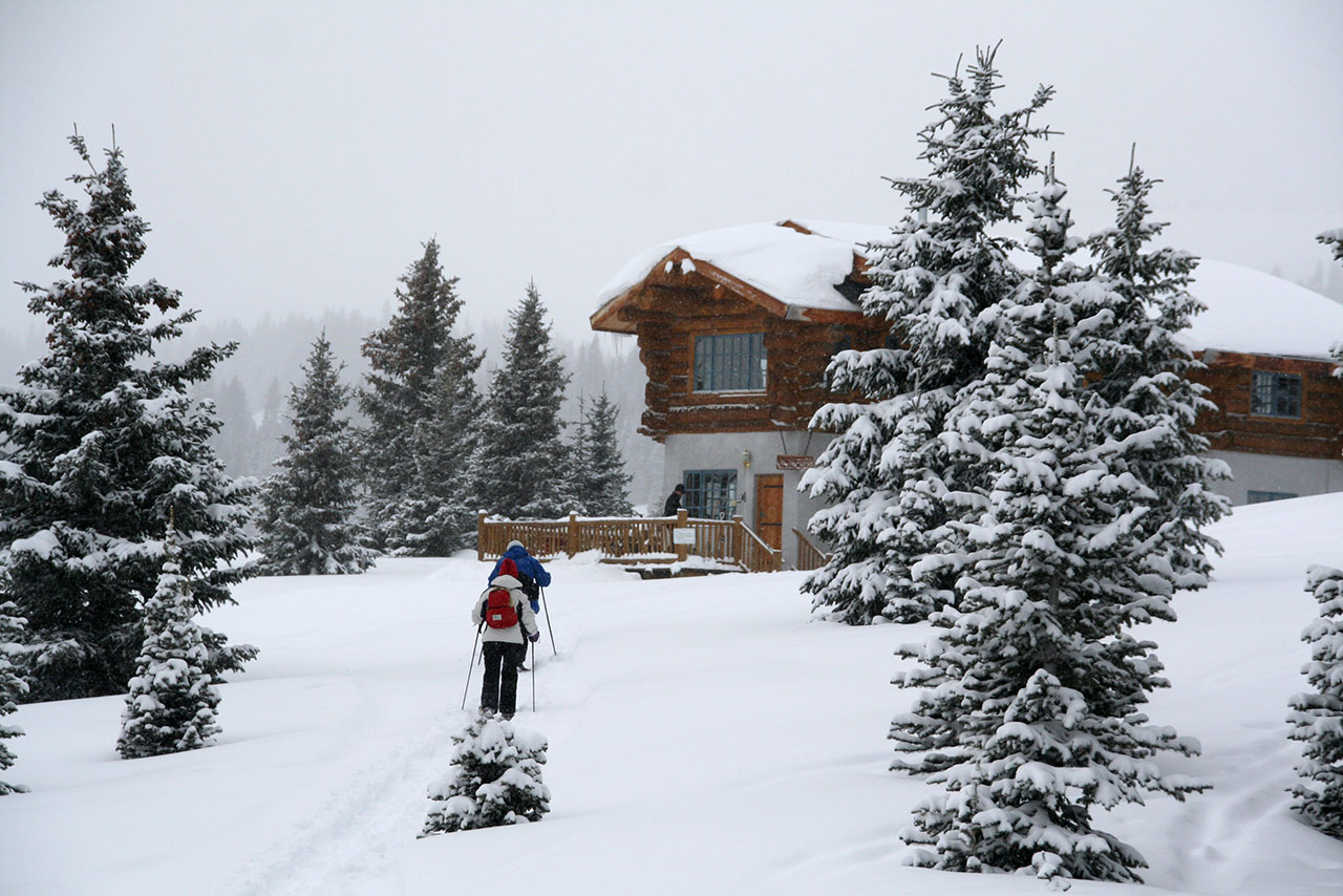
The combination of easy access, relatively gentle terrain, great snow, and alpine scenery makes Shrine Pass Road a superb full-day backcountry ski trail. The route follows a snow-covered road that’s usually tracked by other skiers, showshoers, and snowmobilers who frequently share the route. Along the way, be sure to avoid any steep, avalanche-prone terrain and always check conditions before you go and take the appropriate precautions.

To maximize the elevation drop, it’s best to begin this outing from the Vail Pass trailhead, located on the west side of the overpass north of the parking area and restrooms. The route begins by climbing steadily for 2.5 miles up a moderate grade. After passing a couple of switchbacks, the trail veers west, then northwest around the south side of a small ridge. After dropping into, and climbing back out of, a small saddle, you’re treated to amazing views of the rugged Gore Range to the north and the Tenmile Range to the east.
After enjoying the views, ski across the clearing to the summit of Shrine Pass, where three private 10th Mountain Division huts are located just to the west. The remainder of the route is downhill, descending 2,400 feet into Red Cliff. From the pass, the road heads northwest, dropping into and following Turkey Creek. After paralleling the creek through a meadow, the trail heads west through some trees before dropping into a large, flat meadow. The route veers around the meadow’s northern side before reaching a viewpoint of the Mount of the Holy Cross to the west. Prior to 1940, Shrine Pass Road comprised part of the main route between Denver and Glenwood Springs. Its name comes from the amazing views of this mountain, which was named for the cross-shaped snowfield on its northeastern face.
From here, the road descends into some trees before turning to the north and bypassing a turnoff to Timber Creek. Here, it turns west and descends through more trees before swinging to the north, then west into a clearing. After a long, straight stretch with beautiful views down into the valley, the road crosses the creek about 7.5 miles from the start. After passing some old cabins, the route drops toward flatter terrain, then once again crosses the creek. After passing a bridge and the turnoff to Wearyman Creek, follow the road into Red Cliff and the location of Mango’s Mountain Grill, where delicious fish tacos, burgers, and pizza await.
To avoid getting lost, bring along a detailed topographic map and compass and be sure to stay on the road.
Getting there: From Denver, follow I-70 West to the parking area at Vail Pass (Exit 190), where this route begins. For the shuttle, which in good conditions takes about 1.5 hours roundtrip, merge back onto I-70 West and continue to Minturn (Exit 171). Exit here and head south on US-24 for about 10 miles to a bridge across the Eagle River. Turn left onto a narrow road, which leads to the tiny town of Red Cliff. You can park the second car here, or follow the signs to Shrine Pass Road (FR 708) and drive as far as possible before parking.


