The Local newsletter is your free, daily guide to life in Colorado. For locals, by locals. Sign up today!
Understandably, we haven’t been talking much about the weather lately. But that’s about to change.
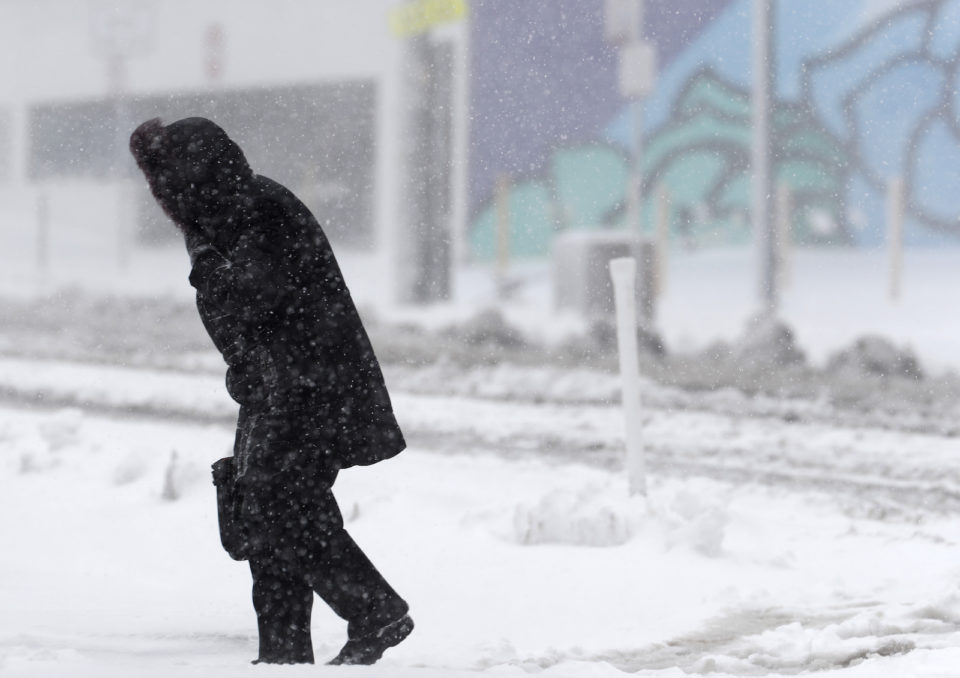
The National Weather Service in Boulder has issued a Winter Storm Warning for Denver and the surrounding areas for Thursday, and this storm is likely up to bring blizzard-like conditions to Denver and the Front Range.
That's only $1 per issue!
This storm is coming with a lot of wind, and when you add wind to snow, you get some nasty travel conditions—though we hope you’re staying inside right now if you can, anyway. Blizzard warnings are possible for some folks Thursday but even if this doesn’t come to pass, be ready for high wind accompanying the snow.
A low pressure system that has been sitting over the west coast that’s been delivering massive snowfall totals to the Sierra Nevada mountains in California, will bring us our next weather maker. A chunk of that energy will break off, grab Pacific moisture, and swing into Colorado and the Central Plains.
We should get moisture, mainly in the form of rain for Denver and the lower elevations, Wednesday night into early Thursday morning. Once the low-pressure forms, cold air will emerge and change the rain to snow.
During the day on Thursday, rain showers will spread across the plains. As the leading edge of the cold air moves across the plains, it will transition from rain to snow from Estes Park to Denver. Moderate to heavy snow showers are likely to last a few hours behind the push of cold air before slowly tapering off Thursday night.
Total accumulation is difficult to forecast, since it will depend on many factors. Totals will be highly dependent on where the heaviest bands develop and the exact time precipitation changes from rain to snow. In addition, surface and ground temperatures will likely be near or above freezing during the heaviest snowfall and it will be during the afternoon when there is solar radiation reaching the surface.
For now, models suggest we could get 3–7 inches of snow in Denver, with higher accumulation on the Palmer Divide and in the foothills, and possibly less up towards Greeley.
As we continue to stay inside amidst the COVID-19 outbreak, Thursday will be a good day to stay home and enjoy the snow out the window without fear of a messy commute. Take care and be safe.


