The Local newsletter is your free, daily guide to life in Colorado. For locals, by locals. Sign up today!
- Length: About five miles round-trip
- Difficulty: Moderate
- Why we love it: This well-maintained National Scenic Trail affords views of everything that makes Utah, well, Utah: red rocks, strangely eroded landscapes, and expansive sky.
- When to go: It’s a year-round trail, but summer is hot hot hot here. Tackle this trail in the early morning or evening to avoid the blazing sun.
- Restrooms: Yes, there’s a vault toilet at the trailhead
- Dogs: Must be leashed
As much as I love hiking in the forests of Colorado, every once in a while, it’s good to get my hiking boots dirty somewhere else. Moab may only be a five-hour drive away, but the landscape make you feel as if you’re on another planet. Fisher Towers Trail, about 16 miles outside of town, provides the perfect introduction to Utah’s canyon country. The trail undulates but there are no super-steep segments (elevation gain totals around 600 feet); there is one section that requires a short climb down a ladder and a scramble up the rocks on the other side.
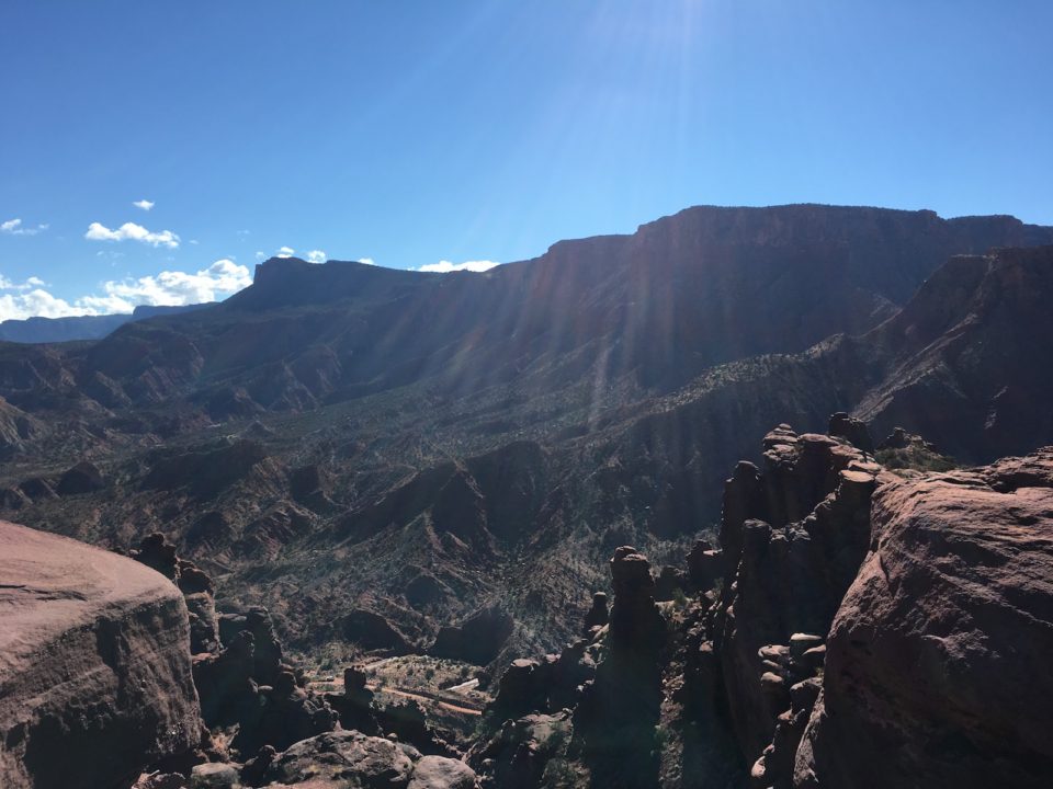
The hike starts at the Fisher Towers Campground (tents only). The dirt and rock path winds melodically around the maze of towers, minarets, and spires—made of dark red Cutler sandstone and harder Moenkopi sandstone—shooting up from the dust and passes by sharp-looking brush and other plants tough enough to survive the dry heat. There is zero shade (bring plenty of water and sunscreen), so you’ll be thankful for the mild grade. Eventually you’ll reach an incongruous site: A six-step ladder, sun glinting off its metal, leaning against the rock. You’ll need to climb down and walk up the other side. Soon after, the trail rounds the Titan, the tallest of the Fisher Towers and a popular rock climbing spot (look up!). Hikers follow an exposed ledge—be careful if it’s wet—and then ascend the ridge, taking in views of the Colorado River and Onion Creek canyons.
That's only $1 per issue!
(Read our First-Timer’s Guide to Moab, Utah)
You’ll know you’ve reached the turnaround point when you spot a wood panel engraved with the words “TRAIL ENDS”. Sit, drink some water, and take in the view. It’s unlike anything you’ll come across on a hike in Colorado—and a lovely reminder of just how much the great outdoors has to offer if we just step into it.
Getting there: From Denver, follow I-70 west across the Utah border. Take exit 214 toward Cisco. Turn left onto UT-128, which you’ll follow for about eight miles until turning left again to get onto UT-128 west. You’ll follow this road for another 20 or so miles to a turnoff marked Fisher Towers. Turn left and follow the dirt road approximately two miles to the parking area and trailhead. From Moab, you’ll drive north on U.S. 191, turn right (east) onto UT-128, and then turn right at the Fisher Towers turnoff.


